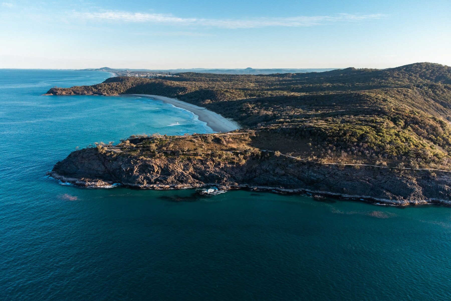
The official Noosa Coastal Walk is 10.8 km return from the Noosa Headland day-use area to Sunshine Beach and back. Visit Noosa suggests allowing a full day if you want time for lookouts and stops. Your actual walking time depends on pace, weather, track conditions and how long you spend at the headland, so use the distance—not a generic time estimate—as the reliable starting point.
Noosa Coastal Walk distances at a glance
The current Queensland Parks and Wildlife Service Noosa Headland map gives these return distances from the day-use area:
- Palm Grove walk: 1.1 km return through rainforest.
- Noosa Hill walk: 2.8 km return on an inland circuit.
- Alexandria Bay walk: 4.2 km return.
- Coastal Walk: 10.8 km return to Sunshine Beach and back.
The shorter options are not simply cut-down versions of the same walk. They use different tracks and terrain, so check the official map before choosing a route for children, older walkers or anyone with limited mobility.
How long is the walk from Noosa to Sunshine Beach?
Because the official Coastal Walk is listed as 10.8 km return, the day-use area to Sunshine Beach section is approximately 5.4 km one way. That one-way figure is an inference from the published return distance, not a separate Queensland Parks estimate. If you begin on Hastings Street, Queensland Parks says the seaside boardwalk to the park’s main entrance adds about 1 km and around 30 minutes.
For an out-and-back walk, allow the day to remain flexible rather than committing to a tight lunch or check-in time. For a one-way walk, plan the return before setting out. Public transport can remove the need to retrace the coastal route, but check the current Translink journey planner on the day because routes and timetables can change.
Can you walk one way and avoid retracing the route?
Yes. The full Coastal Walk return route is 10.8 km, so the day-use area to Sunshine Beach section is approximately 5.4 km one way. Plan the return journey before setting out and check the current Translink journey planner. Starting on Hastings Street adds the approach to the park entrance; the one-way figure above starts at the day-use area.
For a shorter outing, turn back at a point that suits your group instead of treating Sunshine Beach as a required finish. Read the Noosa whale-watching guide if you would like to include a stop at a Headland lookout.
Choose the section that fits your group
If the National Park is one part of a broader Noosa day, walk from the main entrance towards Boiling Pot or Dolphin Point and return when the group has had enough. Queensland Parks describes the first 300 m to Boiling Pot as a gently sloping, barrier-free path. The sealed path continues towards Dolphin Point, about 1.2 km from the day-use area, but includes steep gradients beyond Boiling Pot.
If walking to Sunshine Beach is the purpose of the day, carry enough water and leave room for stops at the lookouts. From June to November, Queensland Parks identifies Dolphin Point and Hell’s Gates as places where walkers may spot migrating humpback whales, but sightings are never guaranteed.
Start with current conditions, not a perfect itinerary
The main entrance car park is busy and regulated to four hours, so do not rely on finding a space at a particular time. Queensland Parks recommends staying on marked tracks, walking in daylight, carrying water, using sun protection and wearing sturdy footwear. Beaches surrounding the National Park are not patrolled; swim only at patrolled Noosa Heads or Sunshine Beach and follow the lifesavers’ advice.
Before leaving, check the current maps and park alerts. Weather, fire conditions and maintenance can affect access. If this is your first visit, our practical first-time guide to Noosa places the Headland within the beach, river and Junction precincts.